• About
  • Who Are We?
  • The Cortland Fire of 1919
  • Textual Visualization
  • Augmented reality
  • Games!
    • Games Assignment
Digital Humanities – Spring 2018

Digital Humanities – Spring 2018

The Adverbs 250 Project

What is this digital public history exhibit about?

The digital public history exhibit is based on the 18th century, and about advertising during this time period. The exhibit posts daily advertisements published 250 years ago in colonial newspapers. The top of the page is titled “An Exploration of Advertising in Colonial America 250 Years Ago This Week.”

Who made it, and why?

The creator of The Adverb 250 project is Carl Robert Keyes, a professor in Massachusetts at the Assumption College.  The exhibit was created to survey advertising during the 18th century in great detail. It also serves as an educational tool for us; easily comparing advertising from then to now.

What kinds of primary sources did you find?

Throughout my search of the exhibit, the primary sources that I found were photographs and newspaper clippings. A lot of the sources were advertisements that had been taken out of newspapers.

Overall, what did the digital public history exhibit do well?

I found that navigating the site was extremely easy and flowed well. I also enjoyed the pictures and enthusiasm in them.

Overall, what did the digital public history exhibit not do well?

I didn’t find anything wrong with the exhibit; possibly make it easier to go from one post or time frame to another.

Thinking about digital humanities more broadly, what is gained, and what is lost, when representing the past through this digital public history exhibit?

I find that the digital humanities are a great concept to our society and it forces accessibility. I find that it takes up a significant amount of time and one may rush through; essentially, just using pictures to help their understanding.

Brianna Martin
March 29, 2018

Digital Mapping-Sarah Feinman

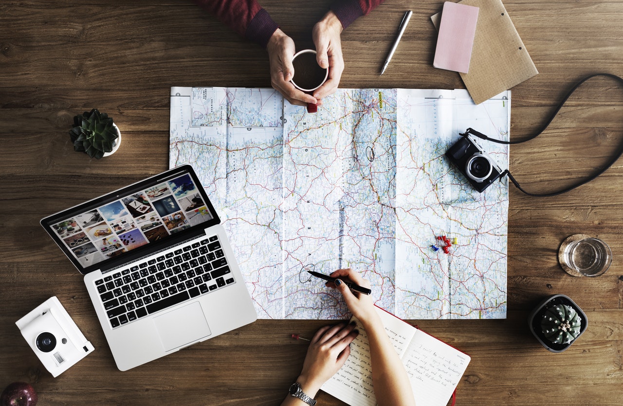
Digital Mapping is a form of technology, which can be used to calculate the distance from one place to another.  This is done by producing maps, which give accurate representations of a particular area. This allows the reader to gain a realistic perspective of their data. Additionally, Digital Mapping allows specific patterns to be revealed, which would not have been visible without the use of this technology. It is very interesting to me that this form of technology is able to show geographic correlations, which can be helpful when analyzing two different authors from a specific time period. Essentially, Digital Mapping makes data much more accessible by creating a realistic visualization after analyzing the plotted data.  Although Digital Mapping seems complex, I am excited to see learn more about this form of technology, and hopefully understand how to use it effectively.

March 29, 2018

Digital Mapping

Digital mapping has many benefits when it comes to looking at the past, but it shouldn’t stop there. We could use digital mapping to look at the present and predict the future depending on the data that we can see. Digital mapping is quite helpful when it comes to visual learners. This is so much more visually pleasing and easier to understand than just reading a bunch of names and places on a paper. Digital mapping could overall benefit an array of areas.

-Monique Walsh

March 29, 2018

Digital Mapping

Digital mapping can be very helpful in the quest to understand the past. Digital mapping can expose where individuals lived, worked or frequented. This can show how individuals lived their lives and what was important or necessary for them. The general locations an individual lives in can explain what their everyday life would look like. Based on the town an individual lived in you can understand how their environment would influence their actions. This is especially beneficial for historians. If a number of scientists live in the same general area and made a ground breaking discovery, it can be assumed that they likely met and may have worked off of or with each other. Where people live can show who interacts with who. Mapping this digitally can make the study of where people lived more accessible. It is also much easier and precise to perform these tasks electronically rather than by hand, the likelihood of  human error is higher when mapping very precise locations by hand.

Kara Smith

March 29, 2018

Benefits of Digital Mapping–Grace Staudt

Digital Mapping is helpful in understanding how often things occur in a certain area. It makes such information more easily accessible via the internet. Reading textbook information stating numbers about occurrences can be hard to visualize. Digital mapping helps in giving visualization to numbers that often don’t mean much in number form.

March 29, 2018

Digital Mapping

I think some valuable things to take away from digital mapping is the visual data that can be observed from simply seeing what is listed on a map. With the data spread out in this sort of way, we can see correlations that were noticeable in the past that might not have been picked up on through other forms of research today. It is like when we talked about how a hand full of well known authors all lived in the same area. With this information acquired by mapping, one can then make interpretations on what they see, such as the potential of all these individuals knowing and sharing/philosophizing their ideas together. Digital mapping can also help show significant events that happen parallel in time with each other, but on different sides of the world. That’s just an example, but with further evidence and investigation, one can make the claim of a potential cause and effect scenario. Digital mapping could help with scientific research of the past as well. Following hot spots, migration patterns, glaciers, etc.

The process of digital mapping for the college students’ locations is a little tedious for me, but I have high hopes that I will get the hang of it.

-Grant Boyd

March 29, 2018

  • « Previous Page
  • 1
  • …
  • 10
  • 11
  • 12
  • 13
  • 14
  • …
  • 26
  • Next Page »

SUNY Cortland