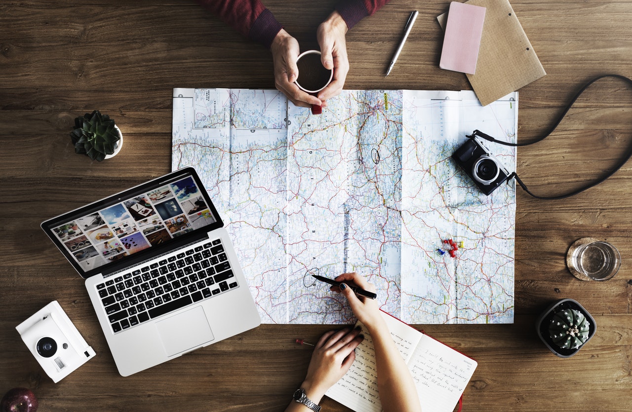
Digital Mapping is a form of technology, which can be used to calculate the distance from one place to another. This is done by producing maps, which give accurate representations of a particular area. This allows the reader to gain a realistic perspective of their data. Additionally, Digital Mapping allows specific patterns to be revealed, which would not have been visible without the use of this technology. It is very interesting to me that this form of technology is able to show geographic correlations, which can be helpful when analyzing two different authors from a specific time period. Essentially, Digital Mapping makes data much more accessible by creating a realistic visualization after analyzing the plotted data. Although Digital Mapping seems complex, I am excited to see learn more about this form of technology, and hopefully understand how to use it effectively.
