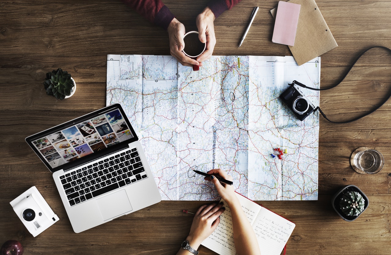
I think some valuable things to take away from digital mapping is the visual data that can be observed from simply seeing what is listed on a map. With the data spread out in this sort of way, we can see correlations that were noticeable in the past that might not have been picked up on through other forms of research today. It is like when we talked about how a hand full of well known authors all lived in the same area. With this information acquired by mapping, one can then make interpretations on what they see, such as the potential of all these individuals knowing and sharing/philosophizing their ideas together. Digital mapping can also help show significant events that happen parallel in time with each other, but on different sides of the world. That’s just an example, but with further evidence and investigation, one can make the claim of a potential cause and effect scenario. Digital mapping could help with scientific research of the past as well. Following hot spots, migration patterns, glaciers, etc.
The process of digital mapping for the college students’ locations is a little tedious for me, but I have high hopes that I will get the hang of it.
-Grant Boyd
