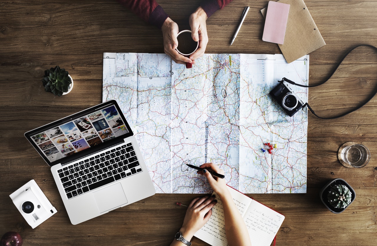
Digital mapping has many benefits. Space becomes a lot more accessible and realistic when mapping digitally. For example, if a person mapped the path the German Army took during WWII, it could give lots of information to historians studying the patterns of conquer and quest during Hitler’s reign. Digital mapping also allows patterns to be revealed that may have not been as visible just from the data itself. If I have the addresses of the most renown eighteenth century essayists, I can plot those addresses and determine if there is any geographical correlation between these great authors. Digital mapping allows data (which can be intimidating information for a person not familiar working with it) to be plotted and made visual for the person mapping. Digital mapping is a form of visual rhetoric, in my opinion, because we are allowing new ideas and patterns to be seen rather than just expressed. I believe digital mapping is most beneficial for making data more accessible and authentic (realistic) to the user.
Emily Hatch
